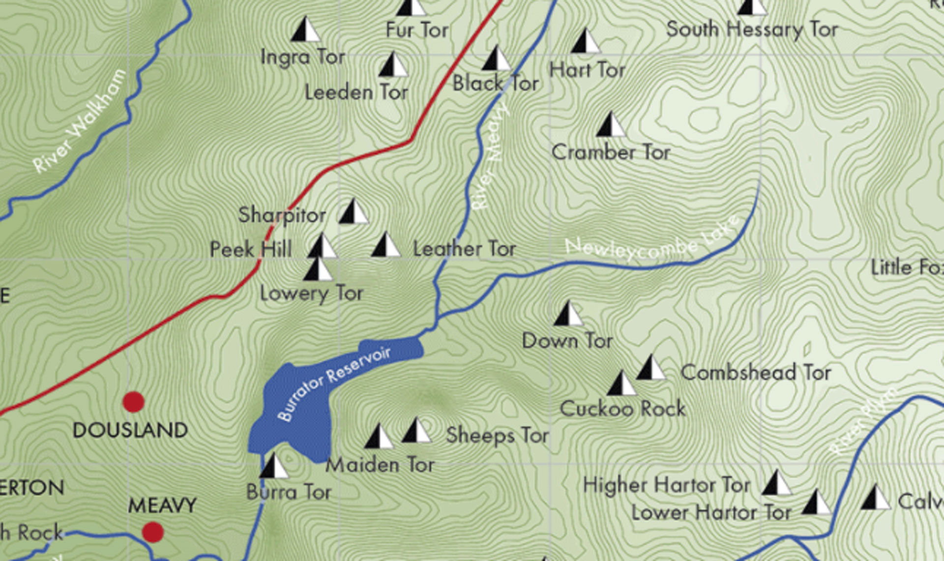
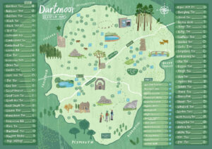
All the Tors of Dartmoor; 1:100,000 By Josephine Collingwood.
Finally! A map of all of Dartmoor’s Tors for those who love Dartmoor and its incredible selection of tors. It shows every tor and rock peak that is on publicly assessible land and marked on either the Ordnance Survey Map OL28 or Harvey XT40 Mountain Map of Dartmoor. This is an accurate map of Dartmoor National Park, showing its elevation contours, rivers, towns and main roads.
Every tor is marked on the map and listed, with a map square location, an eight figure OS grid reference, elevation data and indicator if the tor is within a military range.
Map compiled using Ordnance Survey data © Crown Copyright & Database Right 2021. Contours at 5m based on OS OpenData: public sector information licensed under the Open Government Licence v3.0. NB This pictorial map is not for navigational use; a conventional map and compass should be used for safe hill walking.